- M
- L
Please help me raise funds to purchase the missing sheets from the complete historical 1:50,000 topographic map series of Zimbabwe, formerly Rhodesia.
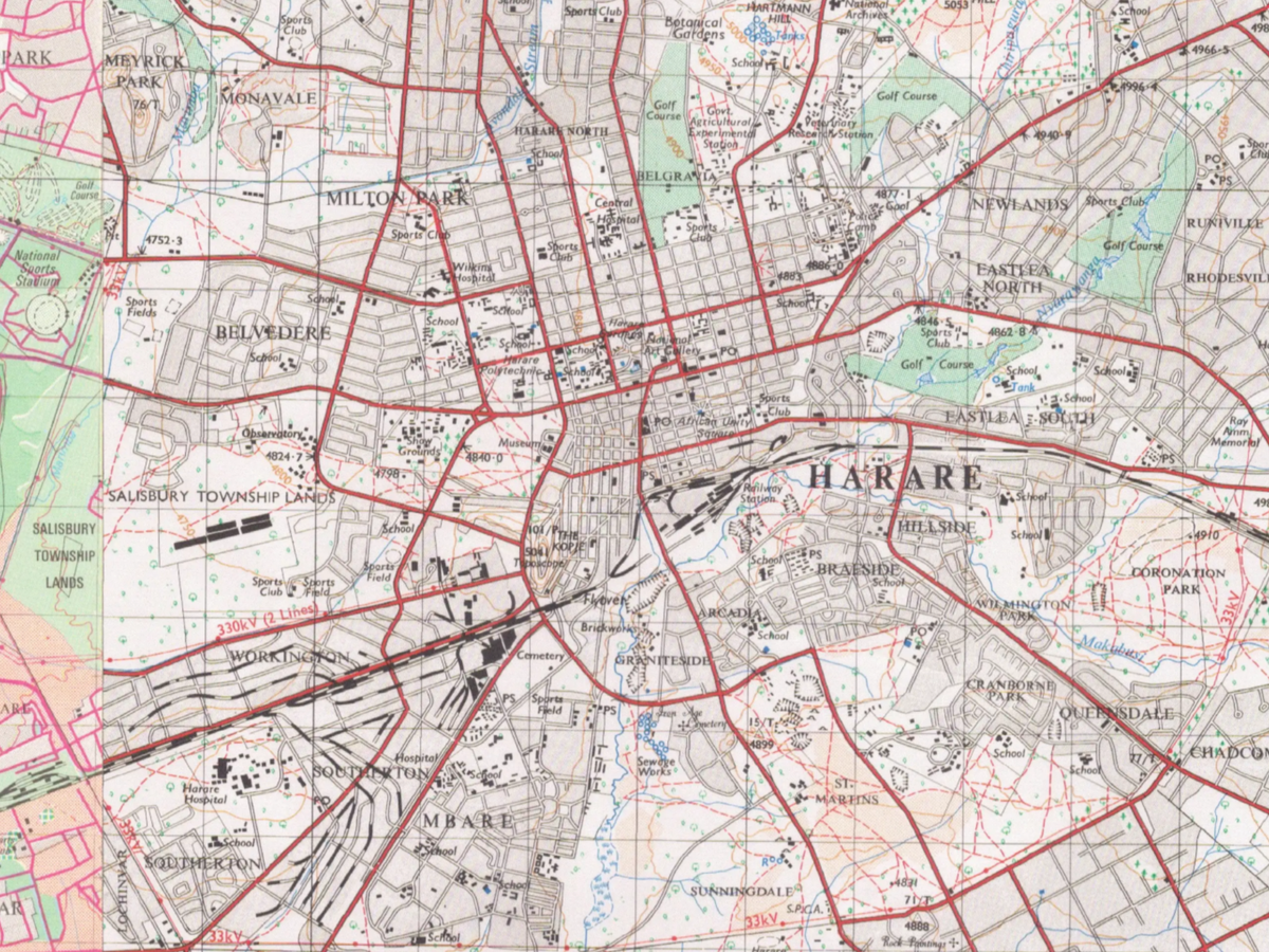
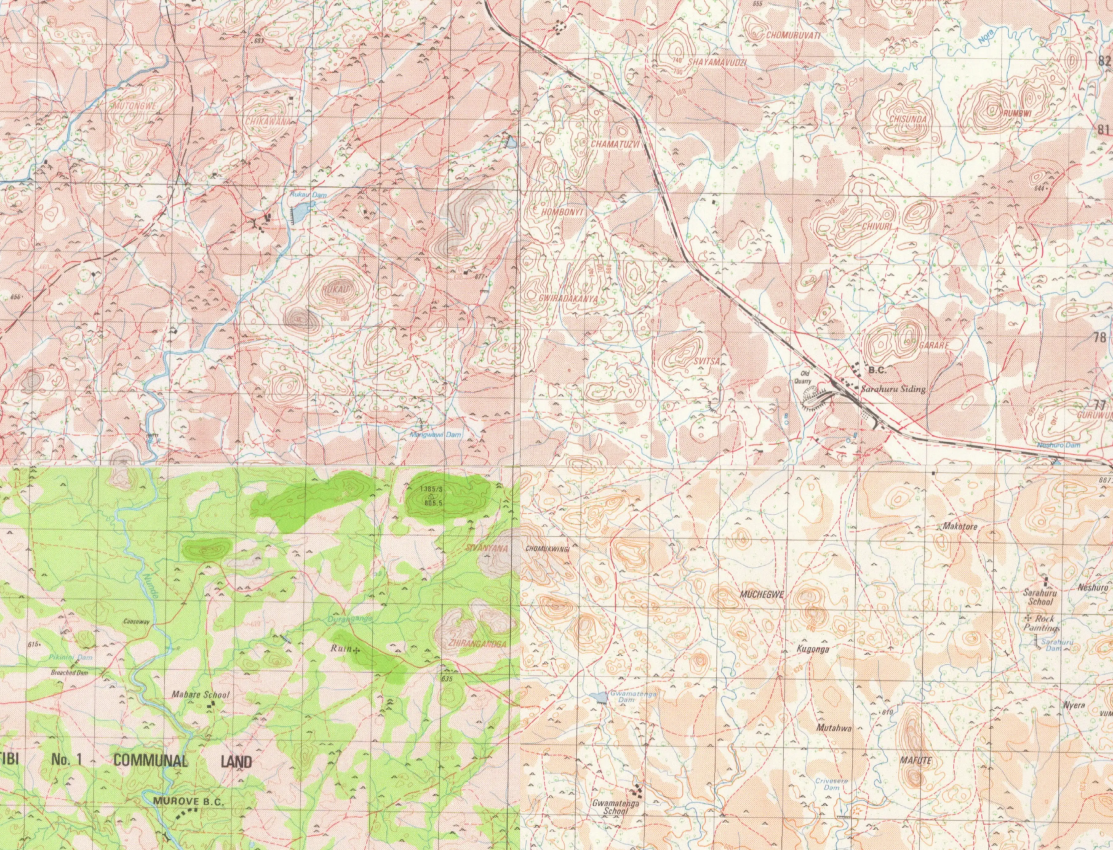
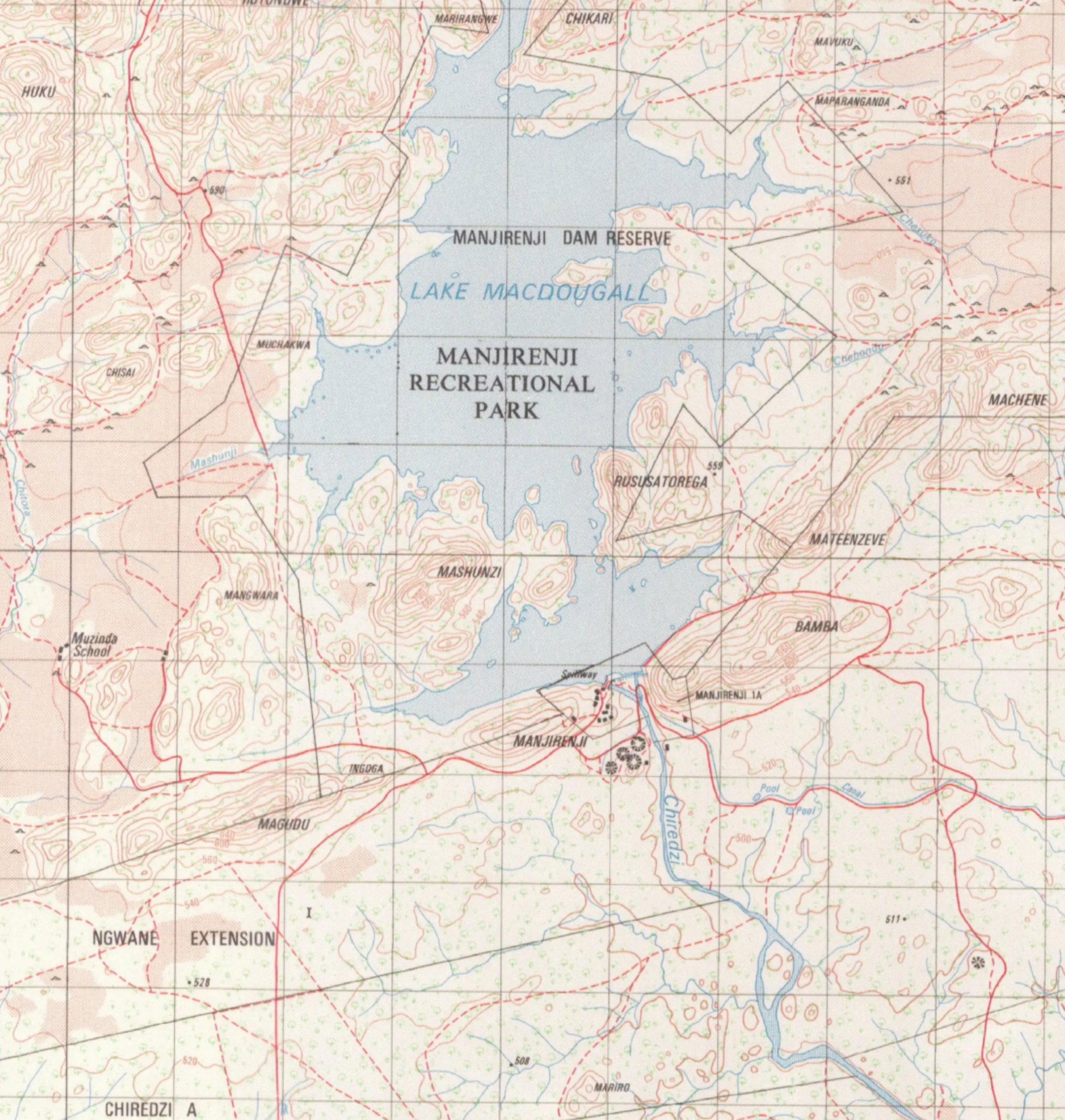
During the 1960s, 1970s and 1980s, the Department of the Surveyor-General and the Zimbabwean Air Force produced detailed topographic maps covering the whole country. These maps show towns, villages, roads, railways, rivers, farms, schools, mines, terrain, place names and many other details from that period.
The full series contains 576 map sheets. Complete sets are now rare, and individual sheets are becoming increasingly difficult to find. I have already managed to source most of the series, but a number of missing sheets are only available from commercial archives. I need help to purchase those final sheets so that the collection can be completed.
Once purchased, I will process the maps and make them freely available online, so that researchers, historians, genealogists, mappers, local communities and anyone interested in Zimbabwe's history can access them.
I have already done similar work with other African topographic map collections, including:
South West Africa / Namibia 1:50,000 topographic maps:
Swaziland / Eswatini 1:50,000 topographic maps:
South Africa topographic maps:
This project is about preserving historical geography and making it accessible. These maps are an important record of Zimbabwe’s landscape, settlements and infrastructure, and bringing them online will help ensure they are not lost or forgotten.
Any contribution, large or small, will help complete the collection and bring this part of Zimbabwe’s history online for everyone to use.
Thank you for your support.