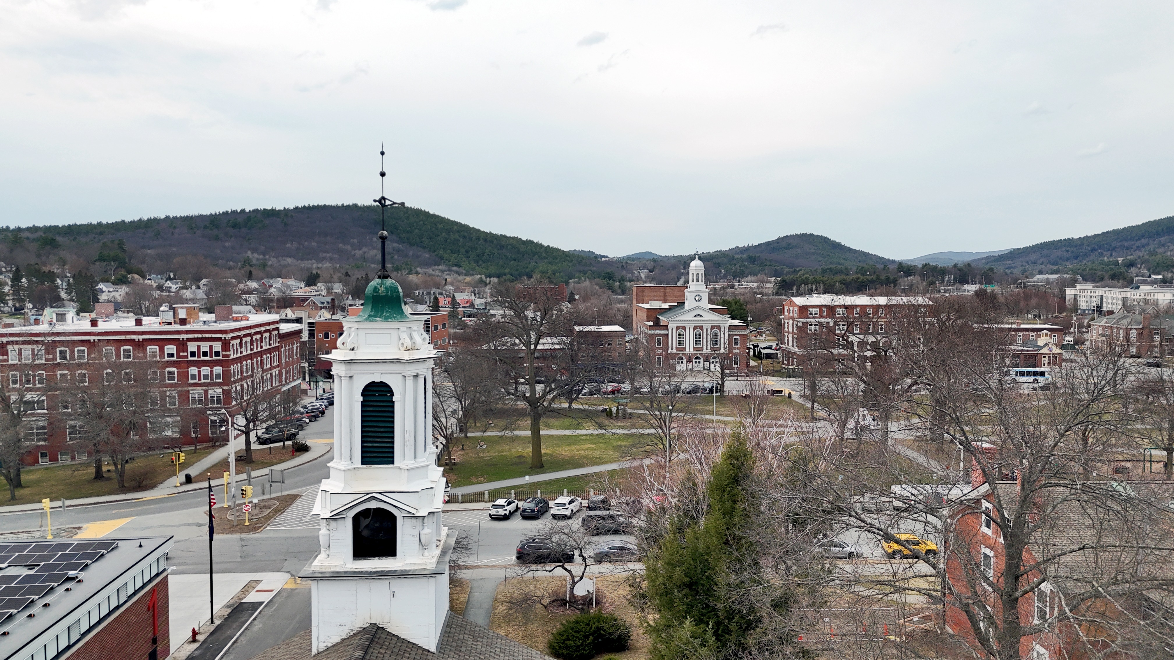
Fuel the Journey: Aerial Videos of NH Towns
Be the first to donate
Inspire others and help Andri build momentum.
1st donor
Project 259
The Definitive Aerial Census of New Hampshire
Mission Statement:
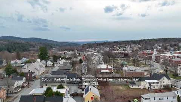
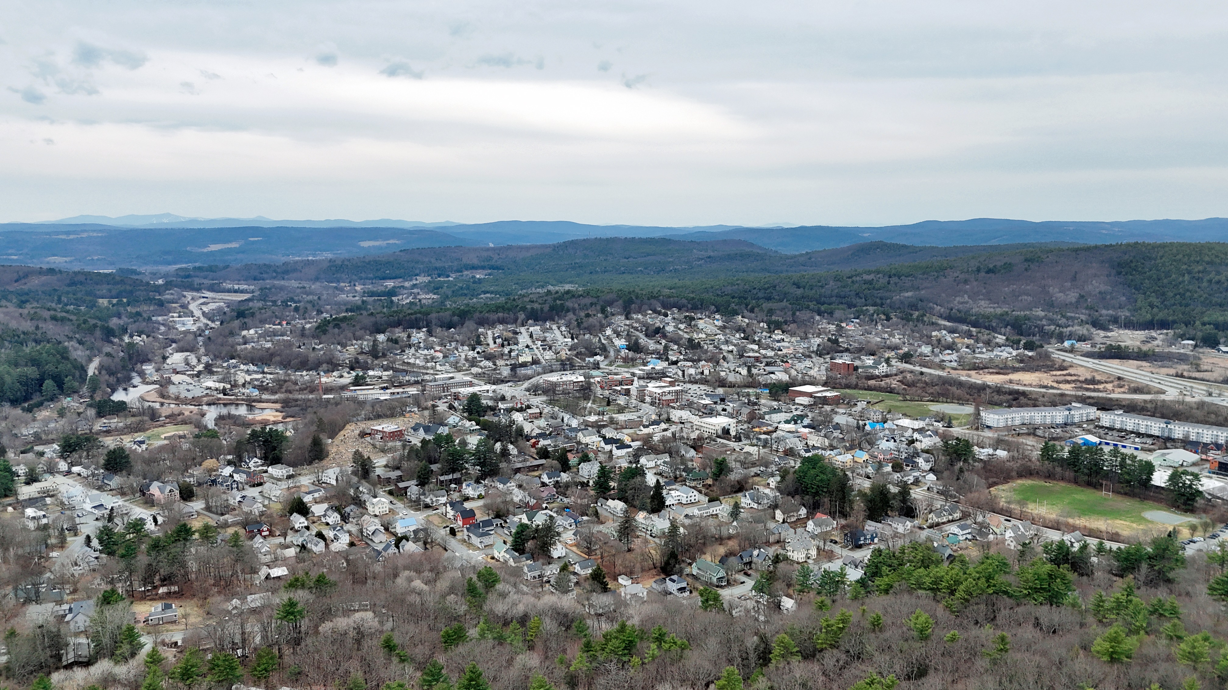
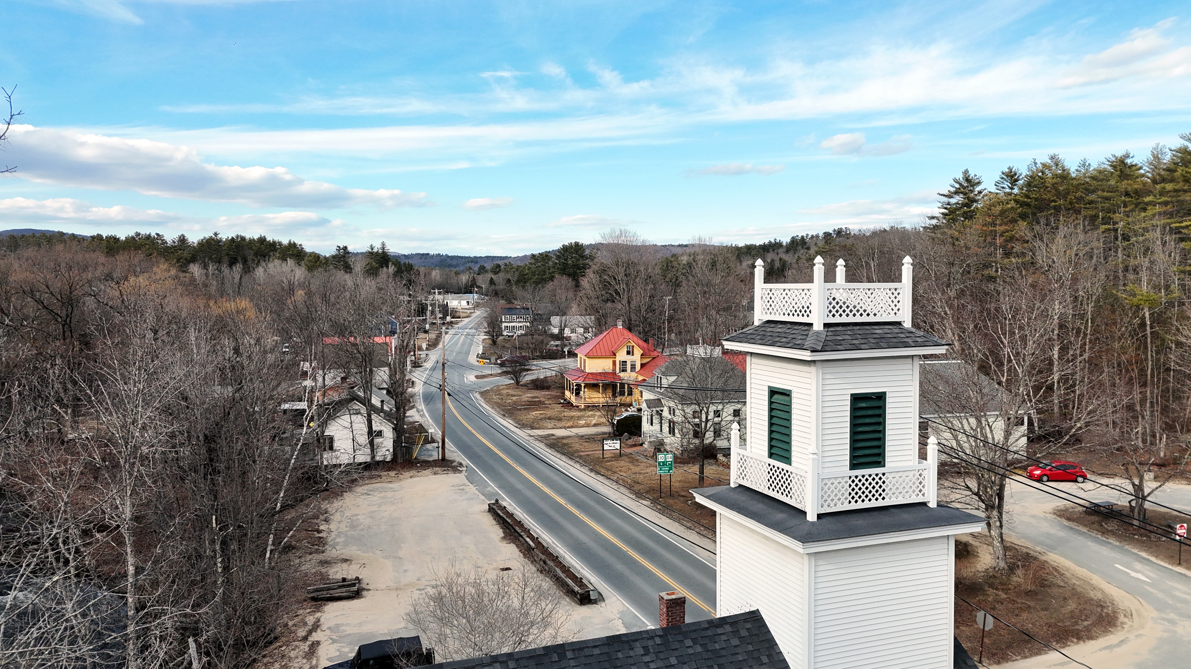
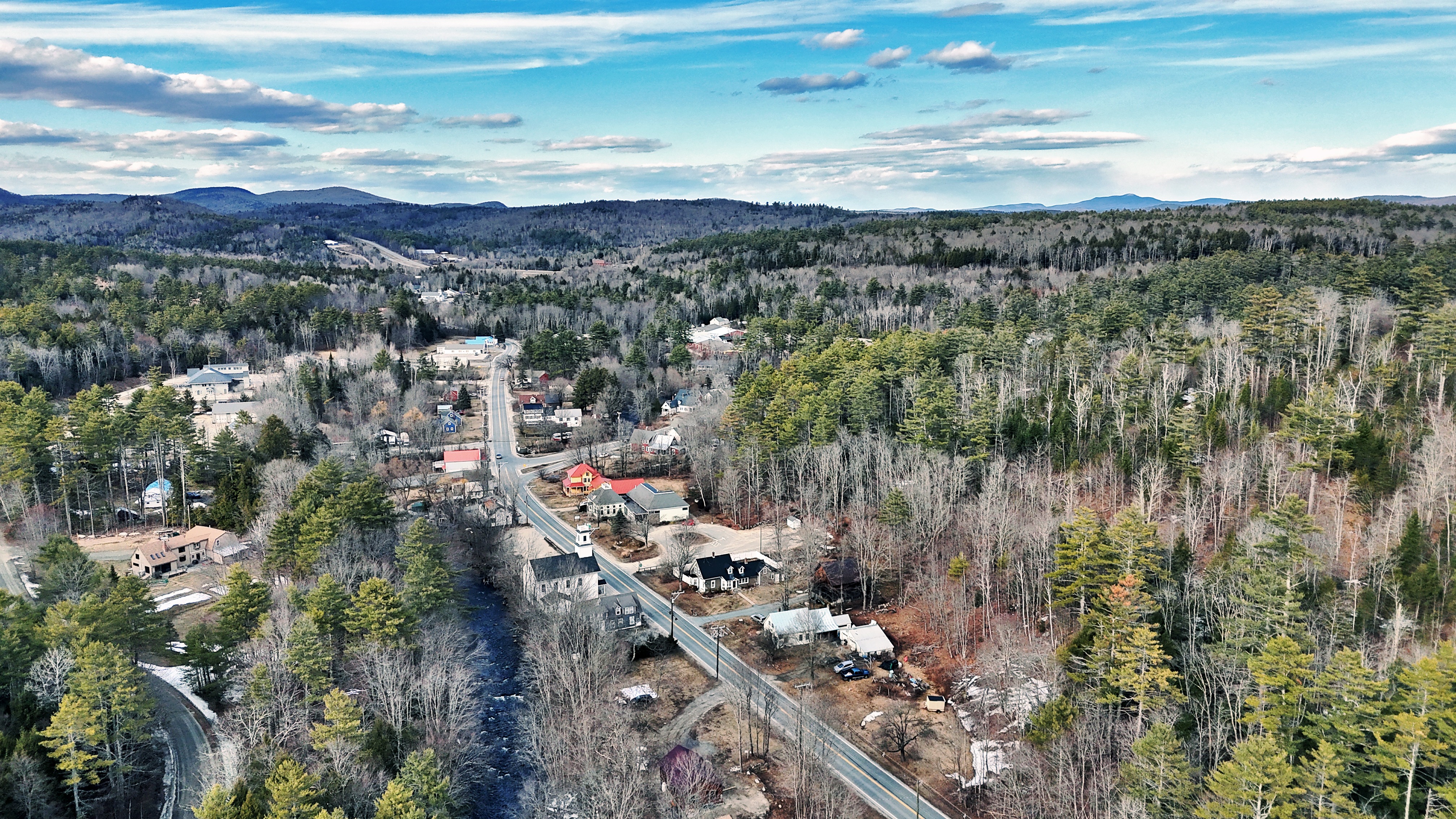
To establish the first comprehensive aerial photographic index of the State of New Hampshire in its entirety. Project 259 is a systematic initiative to capture high-resolution imagery of all 234 incorporated municipalities and 25 unincorporated territories. By creating a uniform visual baseline, we provide a vital resource for geography, urban planning, and state-wide documentation, ensuring that no corner of the Granite State—from the urban centers to the rugged North Country—remains undocumented.
The "Why":
In a rapidly changing landscape, documentation is the first step toward preservation. Project 259 provides the data-rich, high-resolution imagery needed to understand our state’s current footprint from a vantage point only accessible through advanced aerial technology.
Hi everyone!
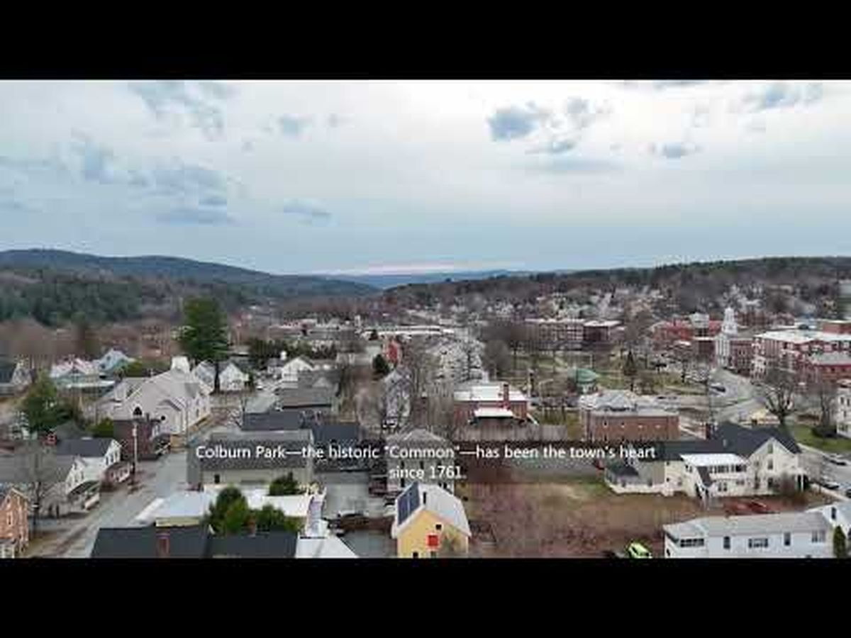
I'm reaching out to ask for your support. I'm on a mission to create beautiful aerial videos of New Hampshire's towns, complete with town portraits. This project is a labor of love, but the costs of gas and living expenses while traveling are adding up. Your contribution will help me capture the visual data and unique charm of each town to share with the world, and, document for future generations. Every little bit helps, and my pup Lady, and I, are so grateful for your support.
Organizer