
Update as of May 13th: Creek is clear of obstructions. Work continues north of the Bingham/George Owen Rd bridge along Beaver Creek with approx another 1000ft cleared. Most of NC is in a severe drought and water level is at historic lows. Beaver Creek is almost non-traversable due to such low water level. As always, all proceeds go to maintenance items such as fuel, oil, chainsaw chains, tools, etc.
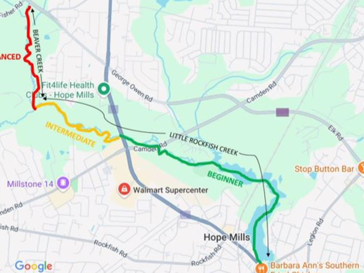
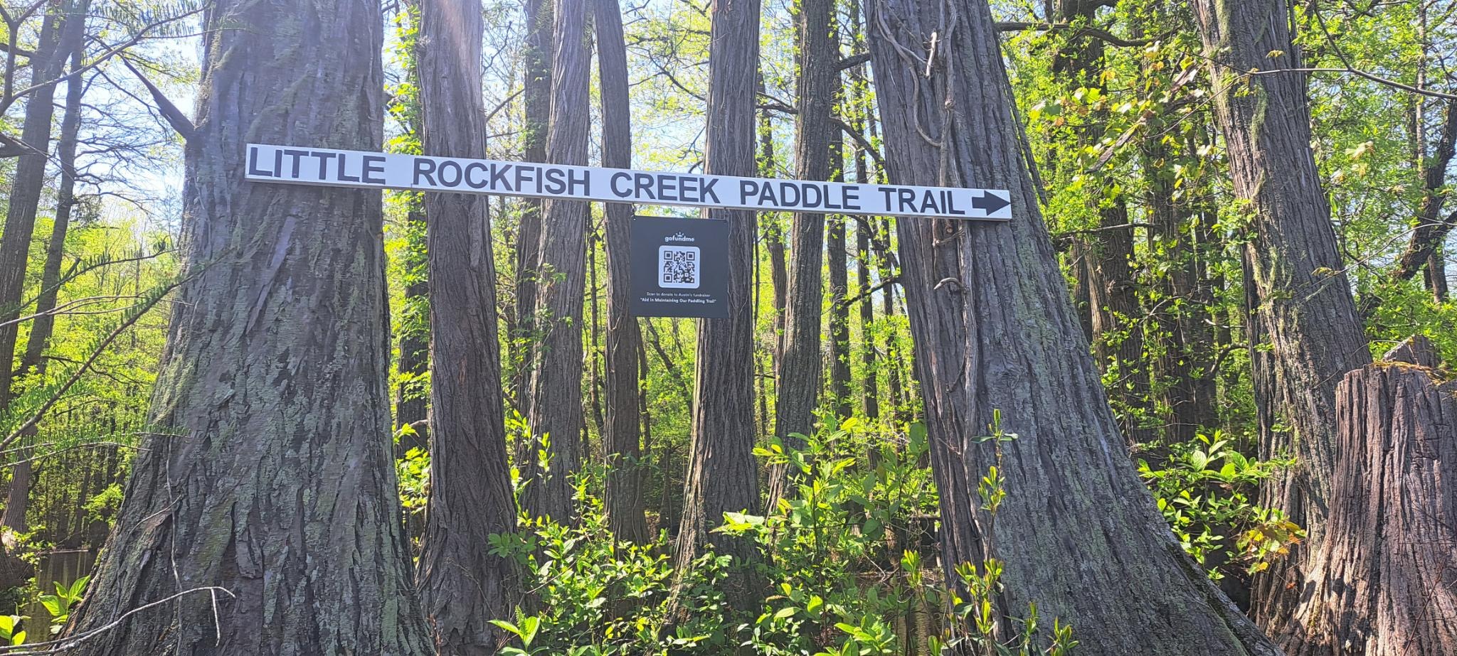
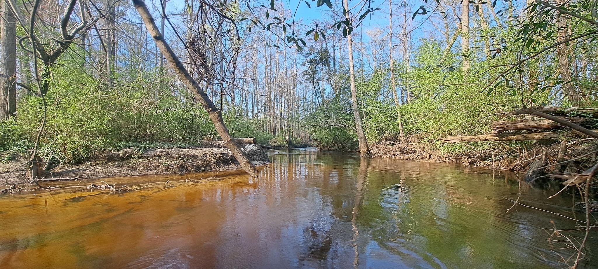
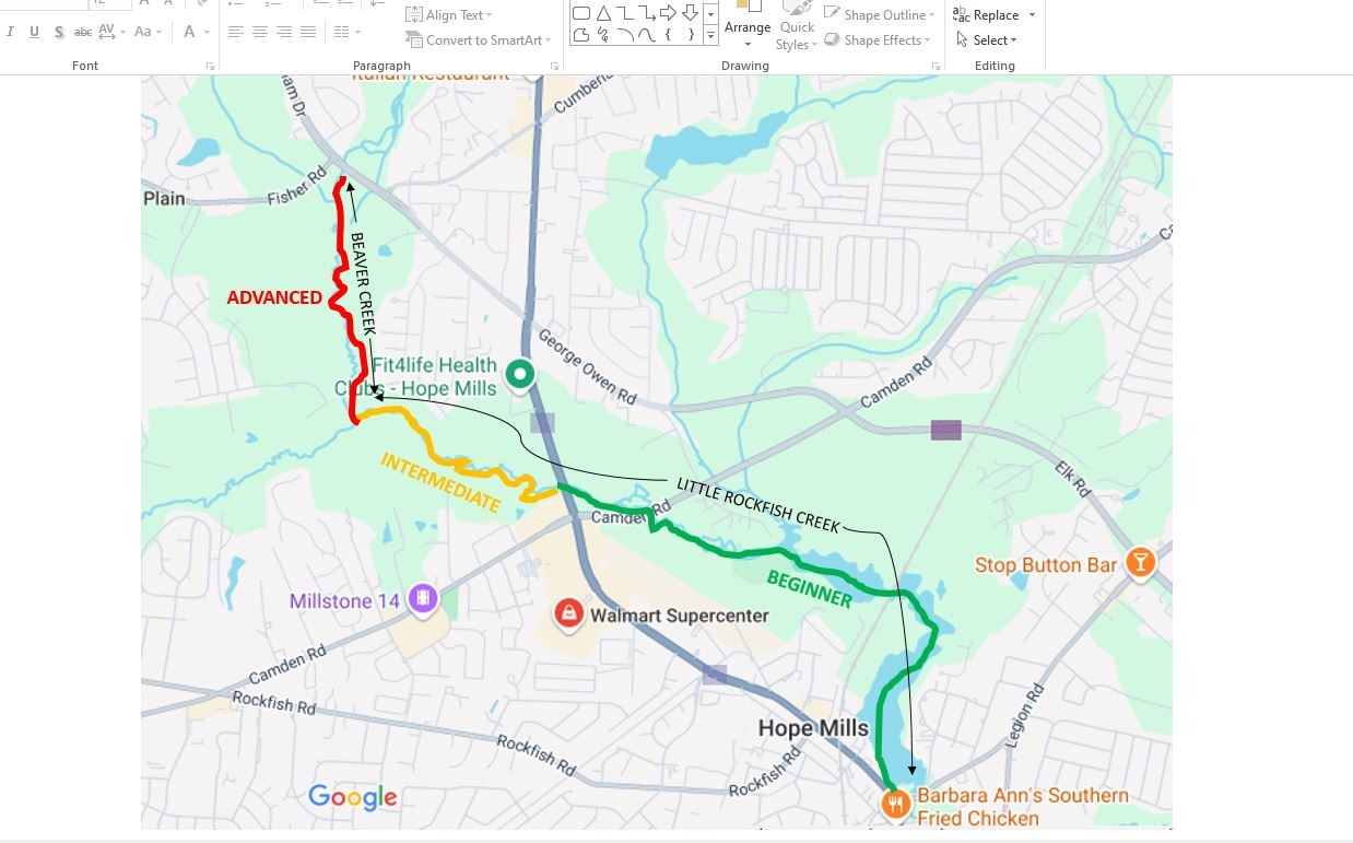
The Little Rockfish Creek Paddling Trail begins at the north end of the lake on the left side, a little ways past the railroad crossing and open water area. A sign designates the beginning and the trail and the first few hundred meters is marked with a series of fluorescent orange trail blazes on the cypress trees. The blazes guide you along the original path of Little Rockfish Creek (hidden by the raised water level via the Hope Mills Lake dam). After a short paddle, you will emerge from the lake/swamp area onto Little Rockfish Creek and from there its self-guided and self-correcting.
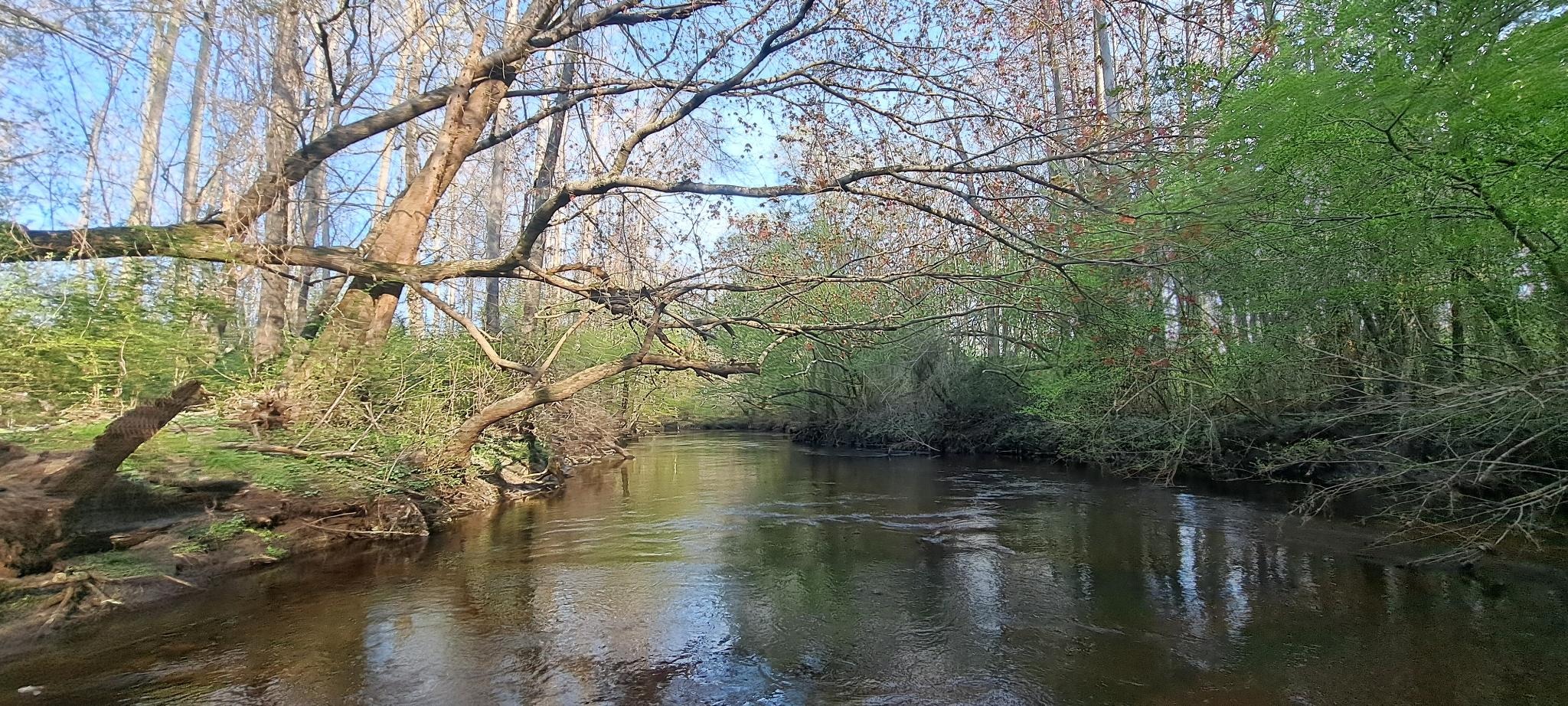
You will see several points of interest and "easter eggs" along the trail indicated by signs. The water will gradually pick up pace so be prepared to paddle vigorously upstream. If you are bold enough to reach the split to Beaver Creek (there is a sign), you can continue to your RIGHT (re: North) on Beaver Creek to the Bingham Drive bridge. This paddle is significantly more challenging than Little Rockfish Creek. It is HIGHLY recommended to check the water level via the USGS gauge following significant rainfall, as water levels can rise drastically and make the currents hazardous. Nominal water level is around 2.7 ft with optimal paddling in the 3.0 to 3.5ft range, depending on rainfall. It's highly advised NOT to paddle when the water level is above 4.5ft, although it is possible for very experienced paddlers. Please reference the USGS gauge link to view real-time water level conditions.
The farther upstream you paddle, the more challenging the downstream paddle will be due to swift water and narrow quick turns, so it is NOT recommended for novice paddlers. Downstream paddling is not for the uninitiated. This is one of the last vestiges of relatively undisturbed wetland wilderness in Cumberland County and should be treated as such. Newly fallen trees and obstacles appear frequently, particularly after periods of high water. I do my best to routinely keep things clear but expect the unexpected.
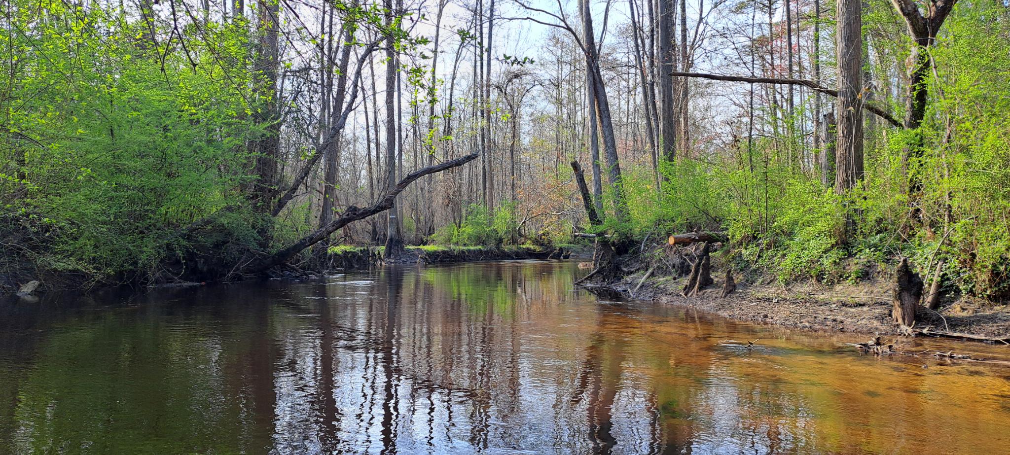
Keep an eye out for beaver, otter, fox, owl, birds of prey, snakes, deer, turtles, waterfowl, and even the occasional elusive coyotes. If you really want to enhance the experience, plan your float back in the late afternoon hours.
All proceeds will help offset the cost of tools, fuel, maintenance, emptying the trash cans at the creek landing at Morrozoff Drive.
If you'd like to volunteer or report downed trees on the creek, please reach out via the contact button on this site. Thanks and enjoy.
Distances (double figure for round-trip):
- Boat ramp to Morrozoff Dr (re: trailer park landing): 1.1 miles
- Boat ramp to Camden Rd bridge: 1.75 miles
- Boat ramp to Hope Mills Rd bridge: 2.1 miles
- Landing at Morrozoff Dr to Beaver Creek: 2.1 miles
- Boat ramp to Beaver Creek: 3.1 miles
- Boat ramp on Hope Mills Lake to Bingham Drive bridge (full route): 4.0 miles