RouteMapper – Help Us Launch the Fastest Way to Map Real-World Routes
RouteMapper began in the Australian outback, where we needed a safer, faster way to record hazards, waypoints, and road conditions while scouting remote rally routes. What started as a rally-planning tool has grown into something much bigger — a professional, field-ready mapping platform for adventurers, tour operators, researchers, and explorers of every kind.
Traditional mapping methods are slow, unsafe, and error-prone. RouteMapper changes that.
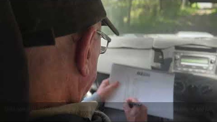
Capture any waypoint in 2 seconds
Using voice notes, quick icons, and GPS automation — without needing to stop the vehicle.
Add instant voice context
Your notes are stored, transcribed, and exported cleanly into mapping tools.
Export anywhere
Rally Navigator, Hema Maps, Guru Maps, Google Earth, GPX, JSON and more.
Optimised for iPad
A clean, rugged, field-tested interface that works offline and in remote regions.
Built for:
• Rally organisers (fundraising & competition)
• 4WD touring companies
• Environmental surveys & research teams
• Outback explorers & adventurers
• Families wanting to map and share memories
⸻
Why We’re Raising Funds
RouteMapper is nearly ready for global launch. Your funds will help with:
• Final field testing and QA with rally & touring teams - 35%
• App Store release & onboarding guides - 25%
• Marketing videos, launch website, and tutorials - 20%
• Infrastructure and Hosting (GitHub, Netlify, Supabase) -10%
• Business compliance, developer fees, and insurance - 10%
Every donation brings us closer to releasing a safer, smarter way to explore the world.
Thank you for supporting RouteMapper — proudly developed in Australia for explorers everywhere.