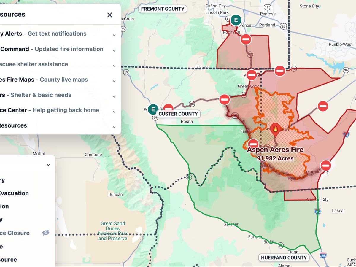
The Aspen Acres Fire Monitor map helps residents and neighbors quickly view shelters, resources, fire-related map information, and other public updates in one place.
This map has been independently funded so far. With public traffic increasing, the live map has now exceeded the usage budget that was covering its map-service costs.
When that budget is exceeded, the public information list can remain available, but the interactive live map may pause until more map access is funded.
This fundraiser helps pay for a higher map-service access level so the live map can stay available during high-demand periods. It also helps cover professional tier Codex access, which is the tool used to help gather scattered public updates, organize them, and keep the site current as information changes.
Funds raised here will be used for Google Maps Platform charges and to update-tool access connected to the Aspen Acres Fire Monitor page. If we raise more than the initial target, extra funds will go toward additional map-service usage and upkeep for the same public fire information project.
Thank you for helping keep this tool available during a high-demand moment!
Organizer