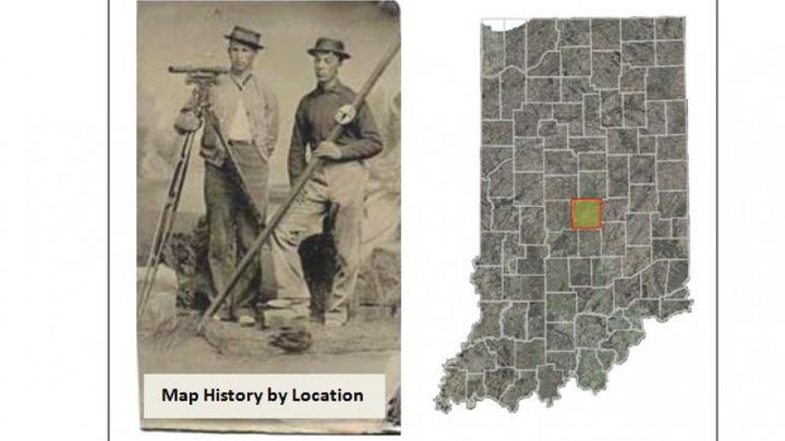
Marion Co, IN Historic Survey Data
Tax deductible
Marion County, Indiana - Making Current and Historic Indiana Surveying Data Available on IndianaMAP
Indiana Geographic Information Council, IGIC (a not-for-profit organization) is requesting funds to make Indiana's current and historic surveying data available to the public (at no cost) in an easy accessible digital format from IndianaMAP (a Geographic Information System website and map viewer). We plan to make all the data/documents available on IndianaMAP in the following layers:
*County Geospatial Information Resource Layer
Government websites and contacts plus links to various government resources
*Grid Point Layer
Computer generated Grid Points [approximate location of Public Land Survey System (PLSS) points, not survey grade accuracy]
*Tie Card Layer
Grid points with links to County Surveyor Ties
*General Land Office (GLO) Field Notes and Plats Layer
-Original, Federal, State, County
The Federal, State, and County transcriptions are from different sources (1800's). Documents will have digital file names with source and location information (1700-1800's)
*GLO Land Patents Layer
Links to GLO Patents (documents by which land was sold to private individuals)
*Timeline
Traces Indiana history of land records: PLSS, GLO, GLO Districts, Treaties, and Congressional Acts
*GIS County Boundary Layer
Created from County Surveyor's Office data
Funds first raised will go toward developing Marion County data as a pilot project. Once it is complete and posted on IndianaMAP, all subsequent funds received will be allotted to complete this work for the entire state of Indiana.
Why is this project so important?
The information is useful to a wide variety of people and professions but it is not always easy to find nor easily accessible. Currently, the documents can be gathered (with some difficulty) from multiple sources, in various locations, in various formats. Our goal is to provide a public resource where all the above listed documents are digital and easily accessible from a single source by picking its' location on a map.
Through this effort, we will be developing a location information and technology resource for learning how the land was originally subdivided for purchase and settlement. History, culture and science will be integrated to facilitate the understanding of how our past relates to the present. This resource will give public and private groups easy access to information that can be used for a variety of individual, collaborative and economic interests - all for free.
There is no funding mechanism in government or the private sector to do what we have planned. With your support and donations, IGIC and IndianaMAP can do this using the Go-Fund-Me Certified Charity campaign.
In recognition of Indiana’s Bicentennial, now is a good time for us to:
*protect and preserve all available PLSS Notes and Plats in a digital format
*expand the usefulness of these historic documents
*make the information free to the public
*make the information easily accessible by the public
*provide a single source for information from multiple counties
Groups that will benefit from the information:
There are many individuals and groups that have an interest in the types of information found in the documents:
Surveying, Hydrology, Wetlands, Geology, Soil, Forestry, Native Species, Archaeology, Genealogy, Indian history, Indiana history, US history, Realty, etc….
IndianaMAP Pilot Demo: Example of digital PLSS Land Records
1. Open http://demo.maps.indiana.edu/index.html?URLLayers=Reference_PLSS_Townships
2. Select Township/Range in the dropdown box on IndianaMAP
3. Type in “21N4W” in the Township/Range Box on IndianaMAP (ex: Tippecanoe County)

4. Click on highlighted Township and the links to the documents appear.
Bureau of Land Management Video (5:17 minutes) explains how the PLSS was created:
IGIC and its' members are composed of interested individuals, public and private companies, educators, not-for-profit organizations, GIS users, professionals with various interests, and government agencies. Phil Worrall is the IGIC Executive Director.
IGIC would like to thank you for taking the time to read our campaign and project information and for your support and donations to take on this monumental cause.
IGIC will be happy to answer any questions you might have as to importance of the project or if you have questions regarding the project itself.
Indiana Geographic Information Council, IGIC (a not-for-profit organization) is requesting funds to make Indiana's current and historic surveying data available to the public (at no cost) in an easy accessible digital format from IndianaMAP (a Geographic Information System website and map viewer). We plan to make all the data/documents available on IndianaMAP in the following layers:
*County Geospatial Information Resource Layer
Government websites and contacts plus links to various government resources
*Grid Point Layer
Computer generated Grid Points [approximate location of Public Land Survey System (PLSS) points, not survey grade accuracy]
*Tie Card Layer
Grid points with links to County Surveyor Ties
*General Land Office (GLO) Field Notes and Plats Layer
-Original, Federal, State, County
The Federal, State, and County transcriptions are from different sources (1800's). Documents will have digital file names with source and location information (1700-1800's)
*GLO Land Patents Layer
Links to GLO Patents (documents by which land was sold to private individuals)
*Timeline
Traces Indiana history of land records: PLSS, GLO, GLO Districts, Treaties, and Congressional Acts
*GIS County Boundary Layer
Created from County Surveyor's Office data
Funds first raised will go toward developing Marion County data as a pilot project. Once it is complete and posted on IndianaMAP, all subsequent funds received will be allotted to complete this work for the entire state of Indiana.
Why is this project so important?
The information is useful to a wide variety of people and professions but it is not always easy to find nor easily accessible. Currently, the documents can be gathered (with some difficulty) from multiple sources, in various locations, in various formats. Our goal is to provide a public resource where all the above listed documents are digital and easily accessible from a single source by picking its' location on a map.
Through this effort, we will be developing a location information and technology resource for learning how the land was originally subdivided for purchase and settlement. History, culture and science will be integrated to facilitate the understanding of how our past relates to the present. This resource will give public and private groups easy access to information that can be used for a variety of individual, collaborative and economic interests - all for free.
There is no funding mechanism in government or the private sector to do what we have planned. With your support and donations, IGIC and IndianaMAP can do this using the Go-Fund-Me Certified Charity campaign.
In recognition of Indiana’s Bicentennial, now is a good time for us to:
*protect and preserve all available PLSS Notes and Plats in a digital format
*expand the usefulness of these historic documents
*make the information free to the public
*make the information easily accessible by the public
*provide a single source for information from multiple counties
Groups that will benefit from the information:
There are many individuals and groups that have an interest in the types of information found in the documents:
Surveying, Hydrology, Wetlands, Geology, Soil, Forestry, Native Species, Archaeology, Genealogy, Indian history, Indiana history, US history, Realty, etc….
IndianaMAP Pilot Demo: Example of digital PLSS Land Records
1. Open http://demo.maps.indiana.edu/index.html?URLLayers=Reference_PLSS_Townships
2. Select Township/Range in the dropdown box on IndianaMAP
3. Type in “21N4W” in the Township/Range Box on IndianaMAP (ex: Tippecanoe County)
4. Click on highlighted Township and the links to the documents appear.
Bureau of Land Management Video (5:17 minutes) explains how the PLSS was created:
IGIC and its' members are composed of interested individuals, public and private companies, educators, not-for-profit organizations, GIS users, professionals with various interests, and government agencies. Phil Worrall is the IGIC Executive Director.
IGIC would like to thank you for taking the time to read our campaign and project information and for your support and donations to take on this monumental cause.
IGIC will be happy to answer any questions you might have as to importance of the project or if you have questions regarding the project itself.
Organizer
Phil Worrall
Organizer
Indianapolis, IN
Indiana Geographic Information Council Inc
Registered nonprofit
Donations are typically 100% tax deductible in the US.


